|
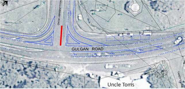
Gary Hughes has operated for many years the same school
bus route and service which travels from Mullumbimby to Huonbrook via
Wilson’s Creek Road and public school.
In an e-mail dated 27 March 2015, the operator however has
advised that his contract (N1060, which is for 12.5m long vehicles) with
Transport for NSW requires Council approval of the route. The e-mail included
two attachments, one being a map and the other a list of roads included on
the route as below for the two AM and one PM services.
As the route is existing and operated for years, and the
operator wishes to continue such operation and other than concern for the
school bus zone at Wilson’s Creek Public School (see separate report) has
raised no concern regarding the route to Council attention, it is recommended
approval be granted.
AM Route [i]
Depart Depot along Smith Street, turn left into
Manse Road, right into Argyle Street, right onto Burringbar Street, left into
Dalley Street onto Jubilee Avenue onto Coolamon Scenic Drive, right into
Wilson’s Creek Road continue along Wilsons Creek Road turn left onto
Huonbrook Road until Quarry. Turnaround for First pick-up continue
back along Huonbrook Road , right onto Wilsons Creek Road , left onto
Coolamon Scenic Road onto Jubilee Avenue until Mullumbimby High School , turnaround
Jubilee Avenue , right into Azalea Street left onto Left Bank Road travel
until Shearwater Steiner School , turn right onto Left Bank Road right
into Azalea Street left onto Jubilee Avenue onto Dalley Street , turn right
into Burringbar Street , right onto Argyle Street , left into Prince Street ,
right into Poinciana Street , right into Morrison Avenue to Mullumbimby
Public School , right into Argyle Street , onto Burringbar Street , right
onto Burringbar Street , left onto Coolamon Scenic Drive turn right into
Casaurina Street travel until St Johns Primary School
AM ROUTE [ii]
Turnaround back along Casaurina Street , turn left
onto Coolamon Scenic Drive onto Tincogan Street , right into Dalley Street
, onto Jubilee Avenue onto Coolamon Scenic Drive , right into Wilson’s Creek
Road continue along Wilsons Creek Road turn left onto Huonbrook Road until
Quarry . Turnaround for First pick-up continue back along Huonbrook
Road , right onto Wilsons Creek Road , travel until Wilsons Creek School
, depart School continue back along Wilsons creek Road , turn left onto
Coolamon Scenic Road onto Jubilee Avenue, onto Dalley Street , right into
Burringbar Street onto Argyle Street , left into Manse Road , right into
Smith Street until Depot.
PM Route
Depart
depot along Smith Street , turn left into Manse Road , right into Argyle
Street , right onto Burringbar Street , right into Dalley Street , left onto
Coolamon Scenic Drive , turn right into Casaurina Street until St Johns
Primary School. Turnaround travel back along Casaurina Street , turn left
into Coolamon Scenic Drive onto Tincogan Street , right into Station Street ,
left into Argyle Street , left into Prince Street , right into Poinciana
Street , right into Morrison Avenue until Mullumbimby public School ,
right into Argyle Street , onto Burringbar Street , left into Stuart Street ,
right into Whian Street , left onto Coolamon Scenic Drive , right into Azalea
Street left onto Left Bank Road travel until Shearwater Steiner School
, turn right onto Left Bank Road right into Azalea Street left onto Jubilee
Avenueto front of Mullumbimby High School . Turnaround continue along
Coolamon Scenic Drive , turn right into Wilsons Creek Road , travel until Wilsons
Creek Public School , continue along Wilsons Creek Road , turn left onto
Huonbrook Road until Quarry. Turnaround For Last stop continue back along Huonbrook Road , turn right into Wilsons Creek Road ,. turn left onto Coolamon Scenic ,
onto Jubilee Avenue, right into Burringbar Street onto Argyle Street , Left
into Manse Road , left into Manse Road , right into Smith Street until
Depot.
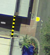
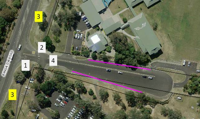
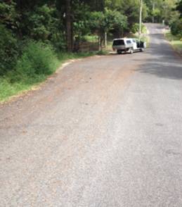
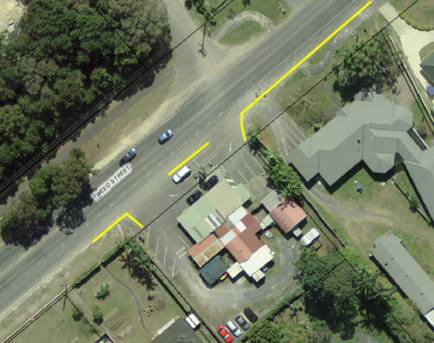
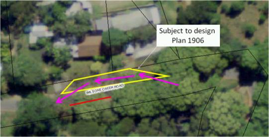
Wilsons
Creek service currently in operation as follows services west of the Wilsons
Creek School and is affected by the lack of bus bay infrastructure ,
with children having to cross the road on the PM service .
|
|
Committee Comments
· the contract is a matter between
the Operator and Transport NSW, however this Committee’s preference is for a
vehicle small enough to be safely used for the road conditions that exist
· That at this time the Committee
has a number of safety concerns which are in the process of Council /
Department of Education / Transport NSW working together to resolve, these
however mainly relate to the school bus zone and operations at the Wilson’s
Creek school
· due to issues being currently
worked through with Department of Education and Transport NSW, those
Departments need to be involved in considering the issues, including if
necessary, variations to Contract N10160
· The wording of the recommendation
needs to reflect the Committee’s concern about safe operations at the Wilsons
Creek Public School
Management Comments
· While the committee recommendation
is noted it is not supported given the restriction it will apply on the
school bus operator (which is a matter of their contract with NSW Transport) plus
the fact the Committee concern for ‘safe operations at the Wilsons Creek
Public School’ is a matter that can be captured in item 6.8 further
below
· It is also noted that the same
operator is seeking Council approval for the routes used in their second
contract (N2903) which follows the same as AM route [i] with exception of
Huonbrook Road. This and other variations will be detailed in the
cover report to Council (I2015/329)
|